geographic information systems
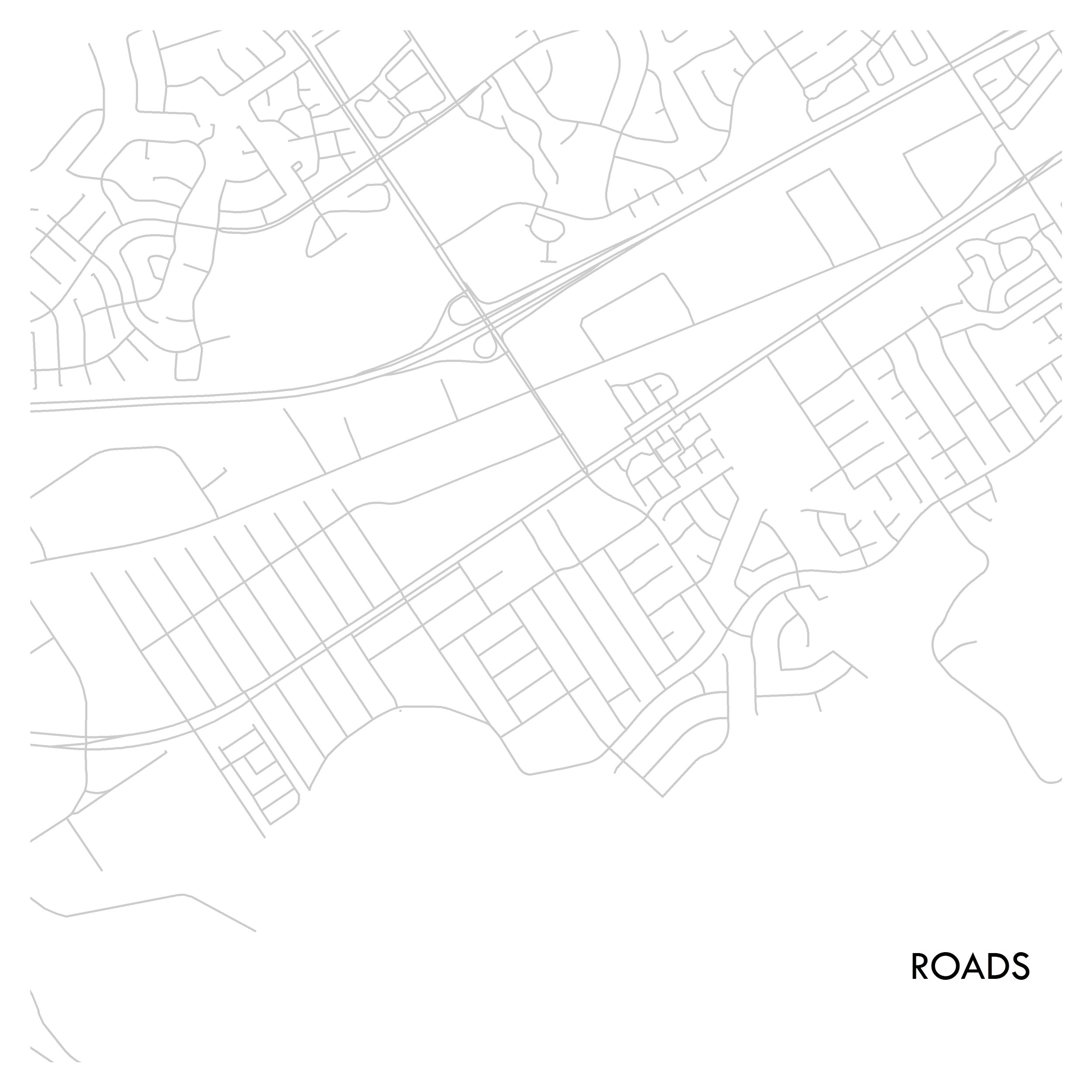
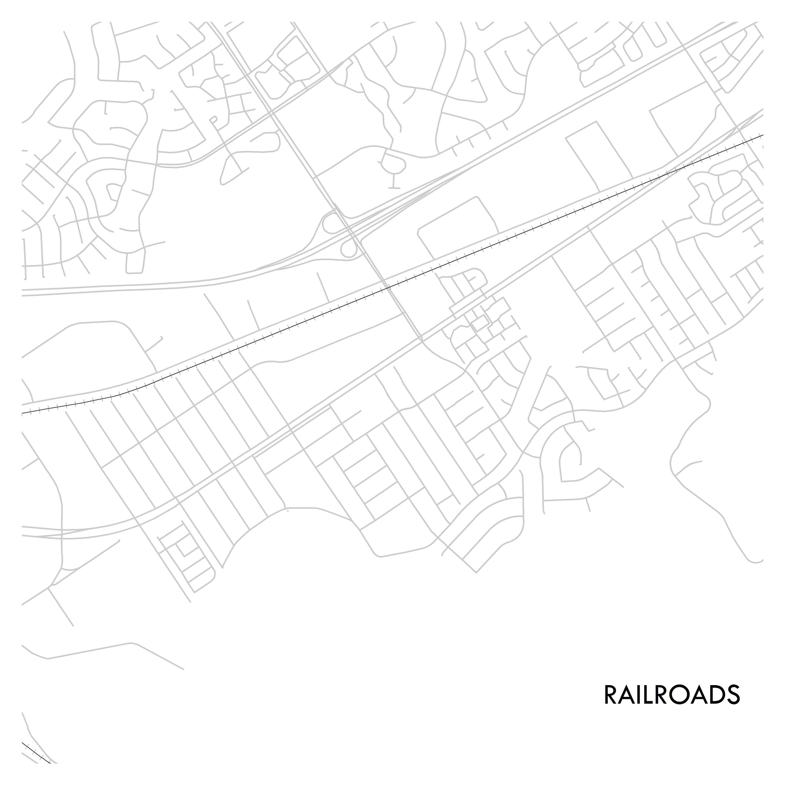
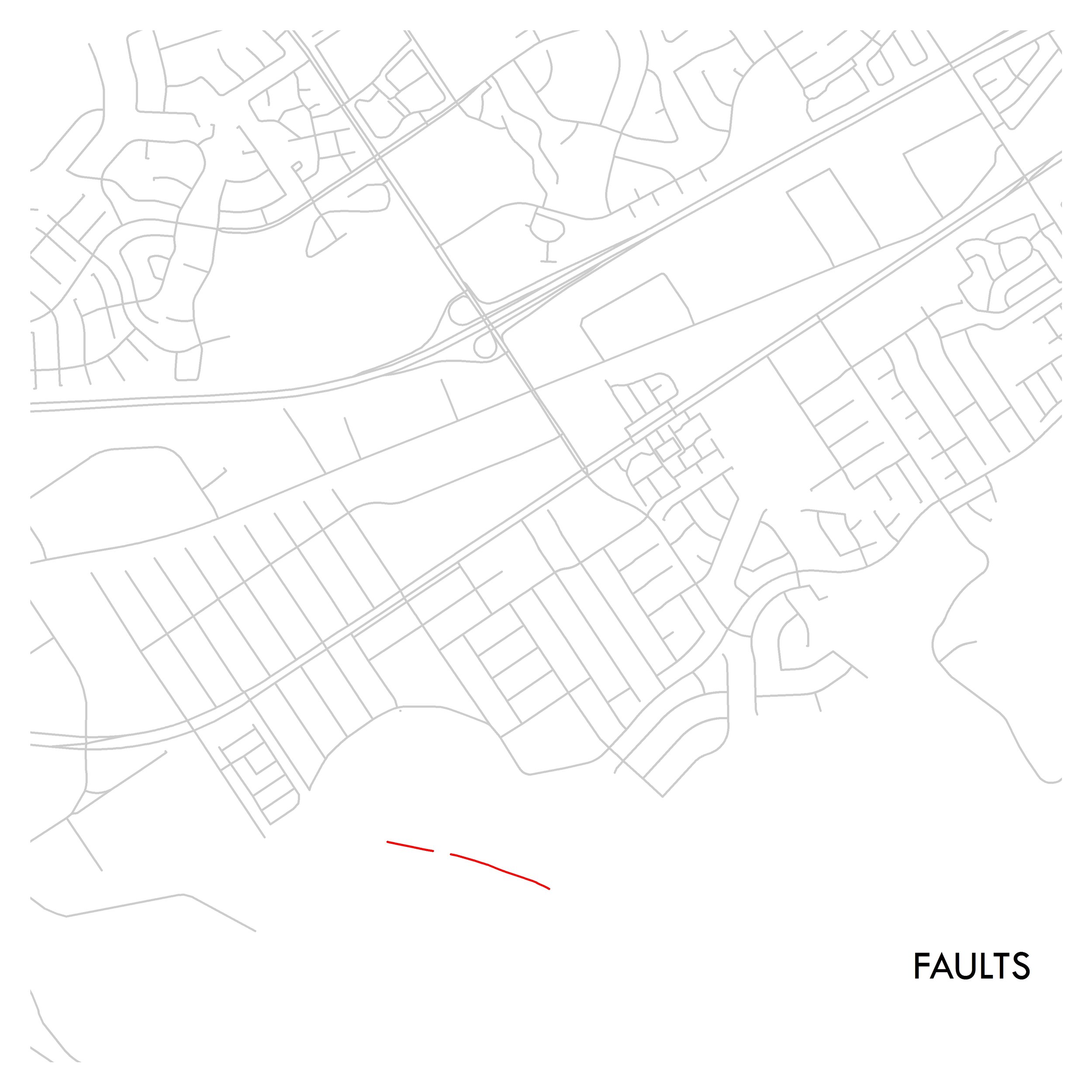
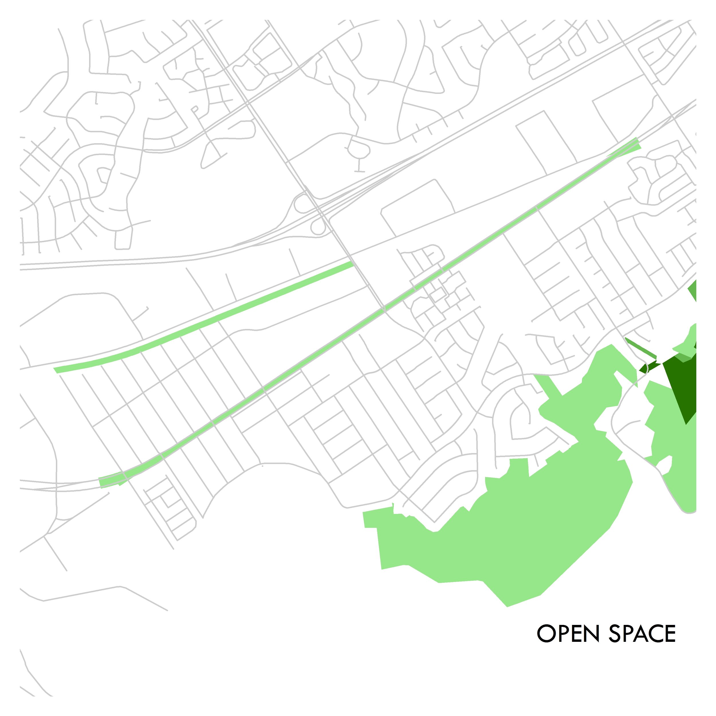
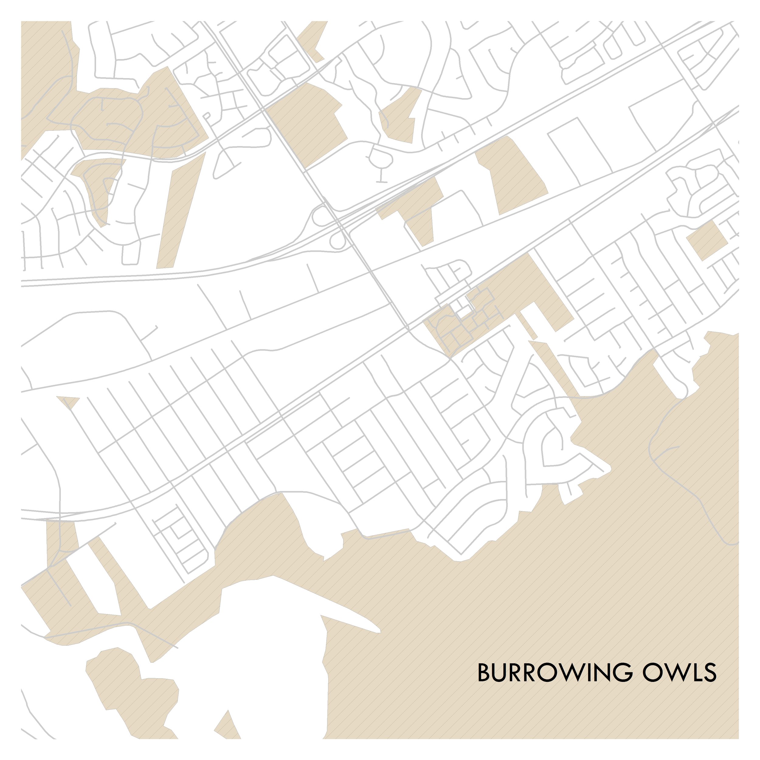
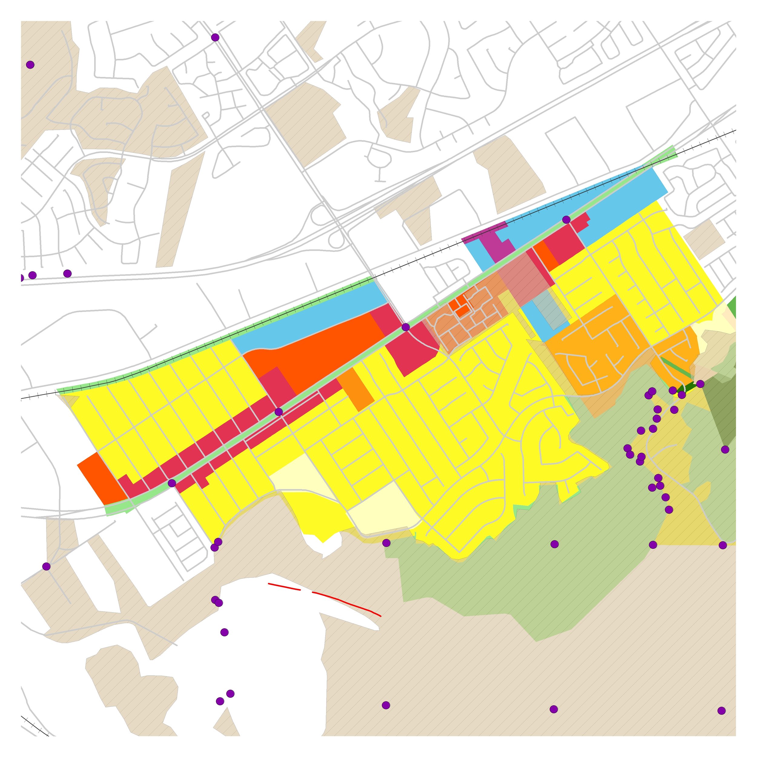
Casc understands that GIS is a powerful tool for planners and policymakers. GIS can communicate information in a visual manner that is both engaging and dynamic by allowing users to view multiple variables at the same time. Casc offers a variety of geospatial services from demographic and spatial analysis, cartographic services, scenario planning, to 3D modeling.

planning for the future
An invaluable tool for policymakers, GIS is one of Casc's favorite tools for our planning projects. GIS is an innovative tool for decision making that combines multiple layers of information in seamless visualizations or spatial analytic models. These models and tools can be customized to fit each individual community's needs.
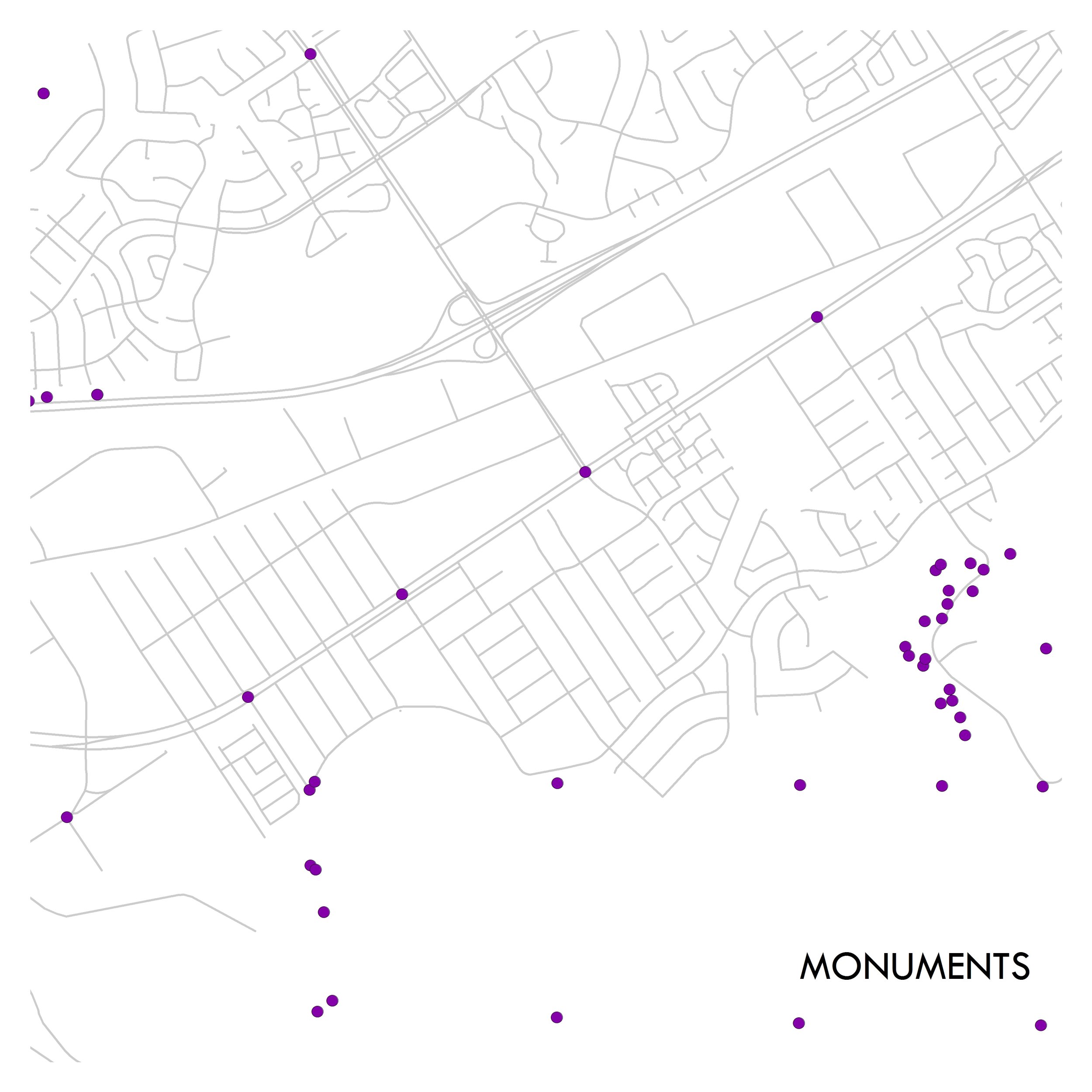
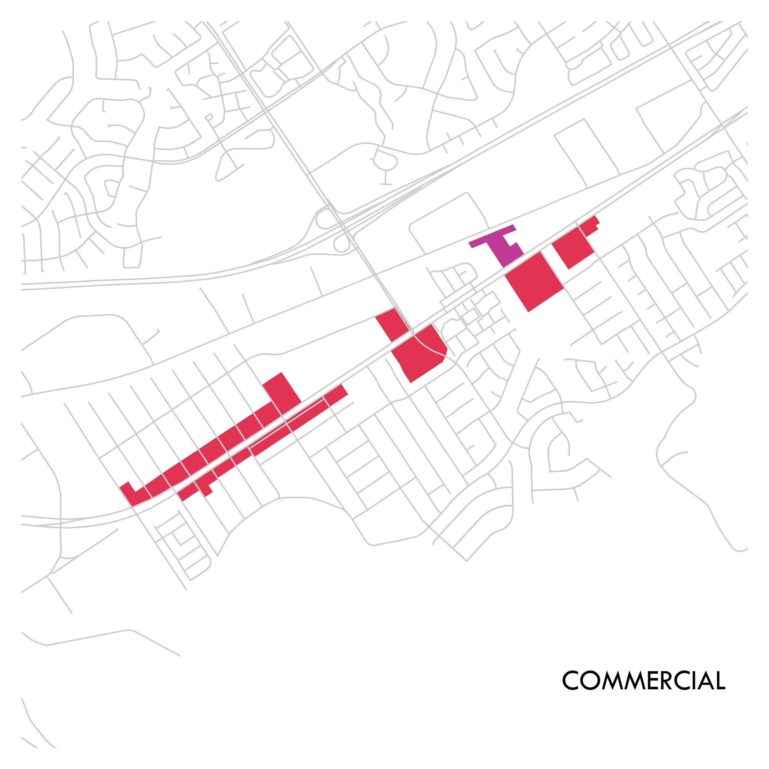
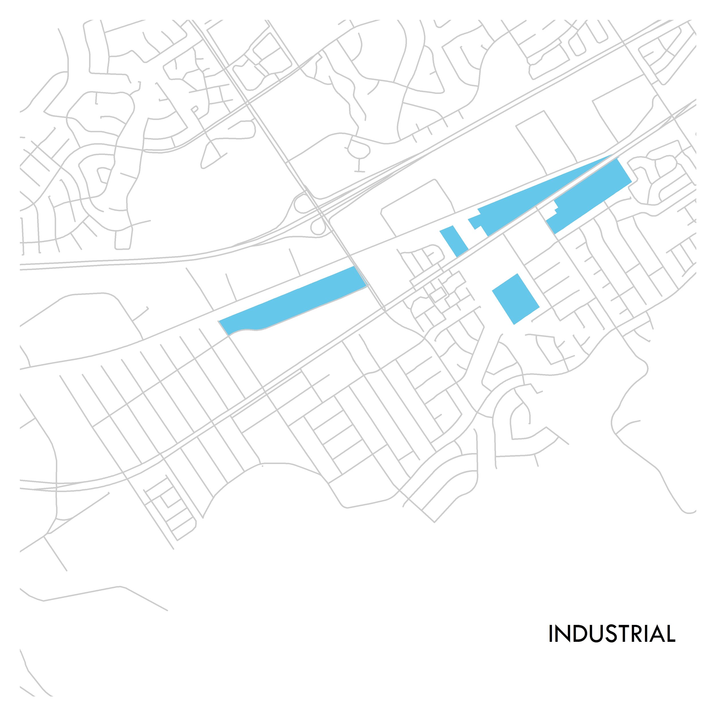
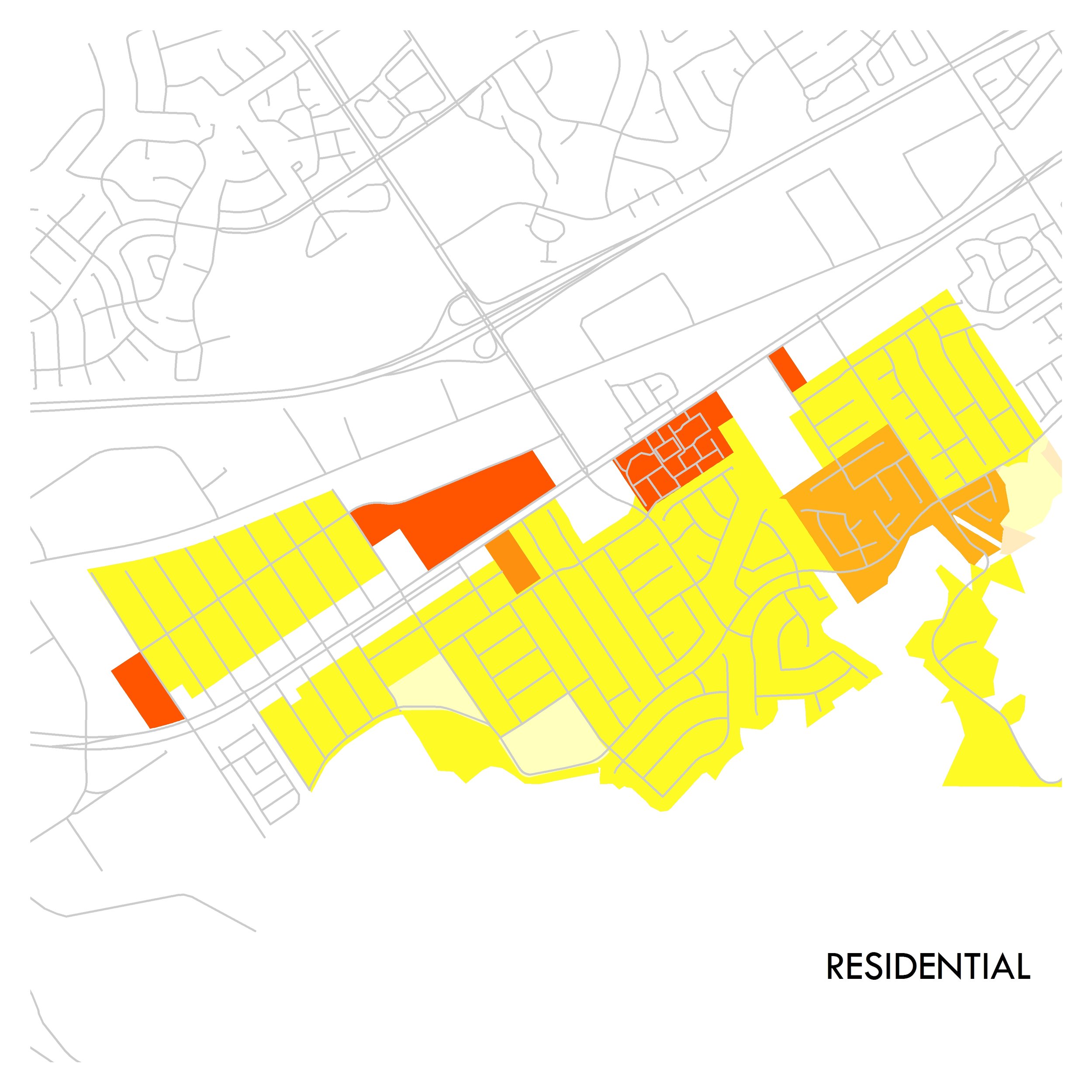
Land use planning and mapping
Cartographic Services (preparation of maps and report figures)
Scenario Planning
Demographic Analysis
Spatial Analysis
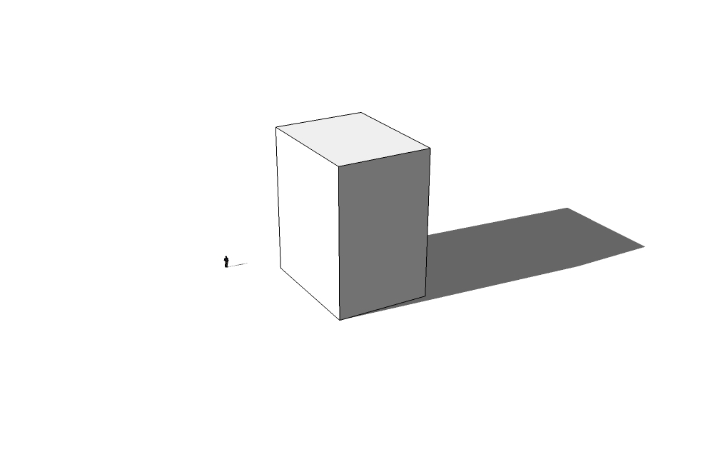
Glint/Glare Studies
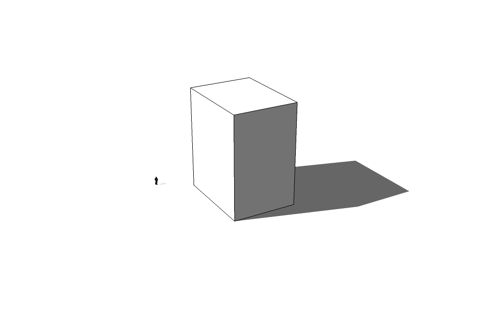
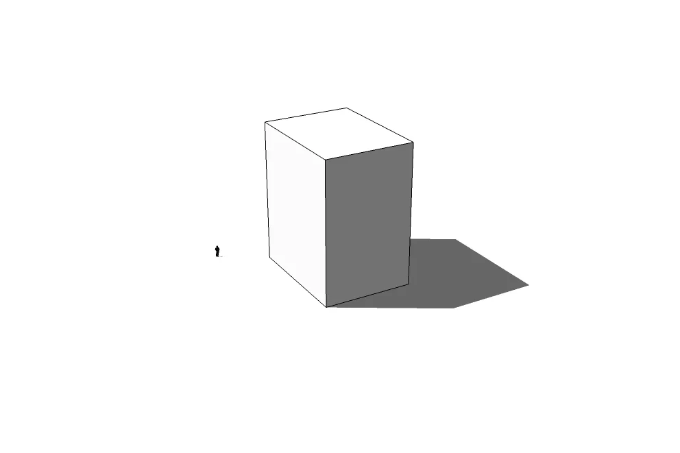
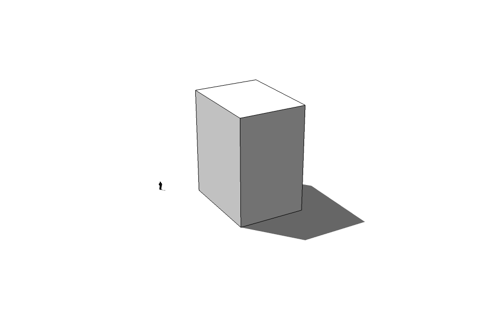
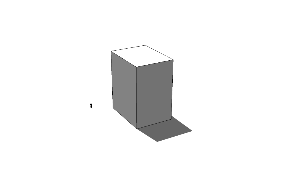
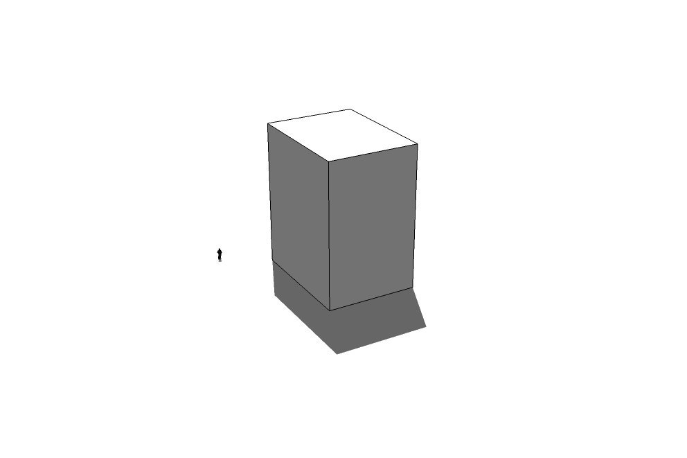
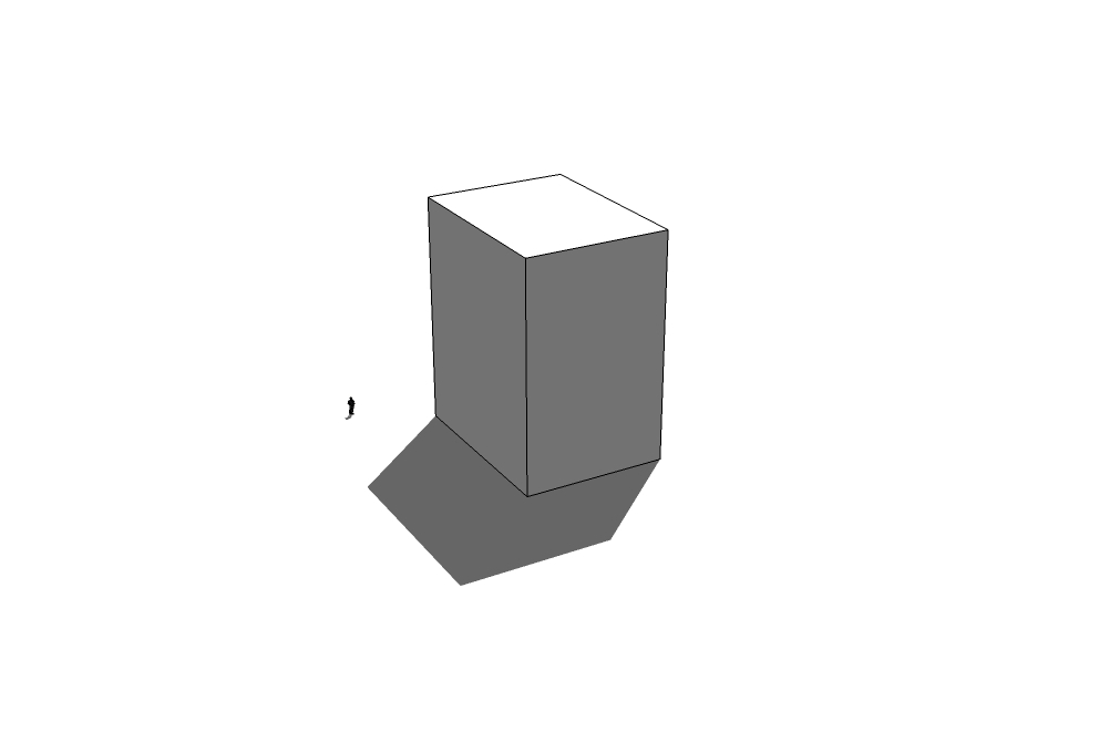
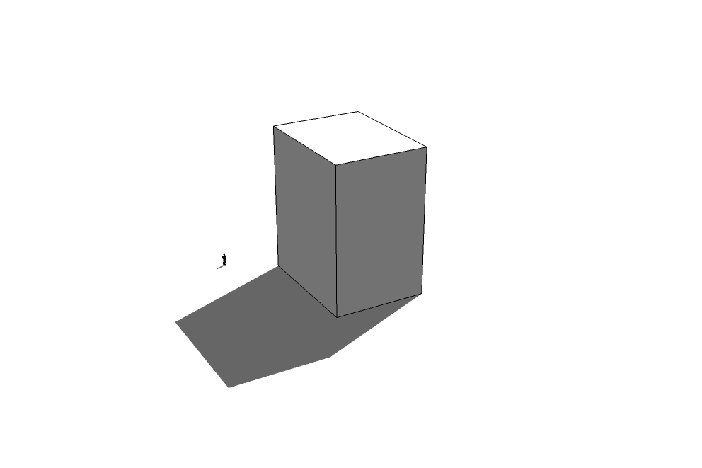
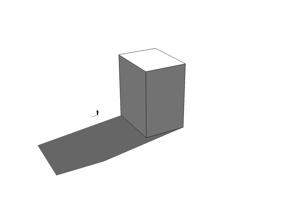
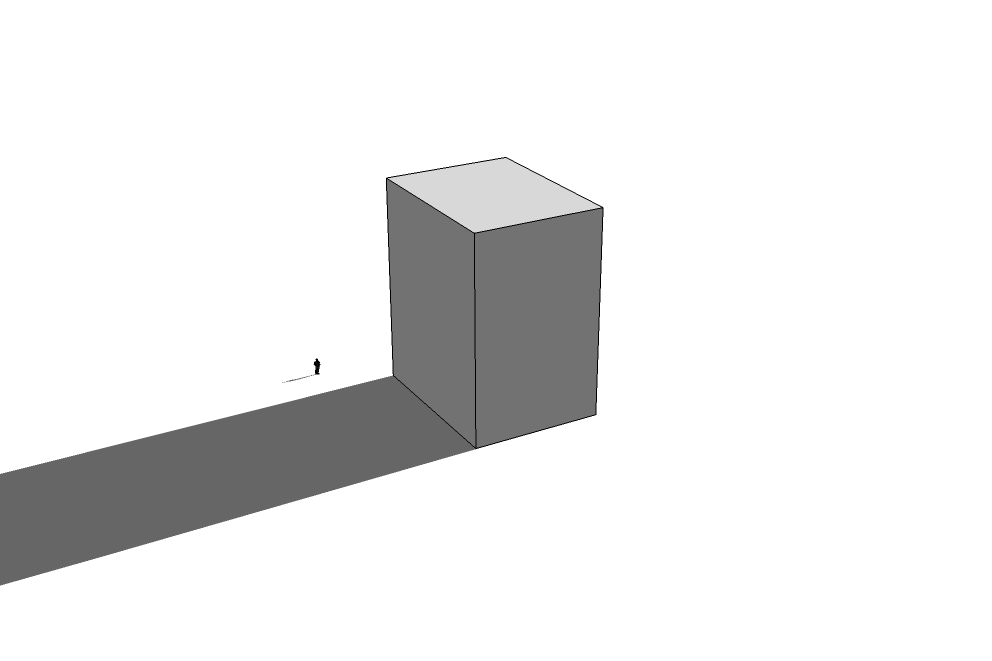
Shadow Studies
Line of Sight Evaluations
web gis
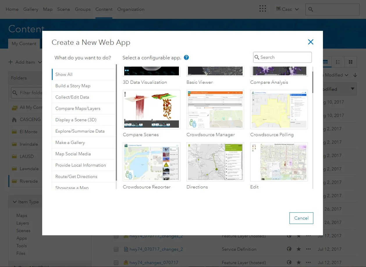
Casc recognizes the importance of community outreach and engagement, and web applications are an excellent option to communicate directly with the public.